Entry Points:

About Montrose County
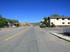
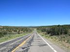
Montrose County is located in the rugged and scenic western mountains of Colorado. It covers 2,243 square miles and is home to 33,432 people, many of whom live in and around the county seat at Montrose.
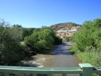
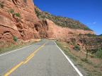
The Uncompahgre Plateau crosses the center of the county, dividing it in two. The San Miguel and Dolores Rivers flow through Montrose County on the western side of the plateau in deep gorges. The Uncompahgre River flows through a valley on the east side of the plateau, where the city of Montrose is located. The Gunnison River flows through the Black Canyon of the Gunnison, a deep gorge in the north east corner of the county, which became a National Park in 1999.
For More Information:
See the official Montrose County site and the Wikipedia Montrose County article.